Related news
The weather for the next few days is expected seco and stable in general due to the predominance of high pressures, except for some rains in the Cantabrian Sea and the Mediterranean, according to the prediction of the State Meteorological Agency (AEMET).
The end step of a front associated with a storm that will circulate to the north, close to Iceland, will leave cloudy skies in the northern third of the peninsula, rainfall in Galicia on Monday and in the Cantabrian communities on Tuesday and Wednesday, and during those days there will be scattered and occasional showers in eastern Catalonia and the Balearic Islands that will spread to areas near the south of Aragon and the Valencian Community.
AEMET spokesperson, Rubén del Campo has indicated that temperatures will increase on Monday in the center and east of the Peninsula, while in Galicia and the Cantabrian Sea they will descend due to the passage of the front, on Tuesday they will also descend in the Mediterranean without great changes in the rest of the peninsular area.
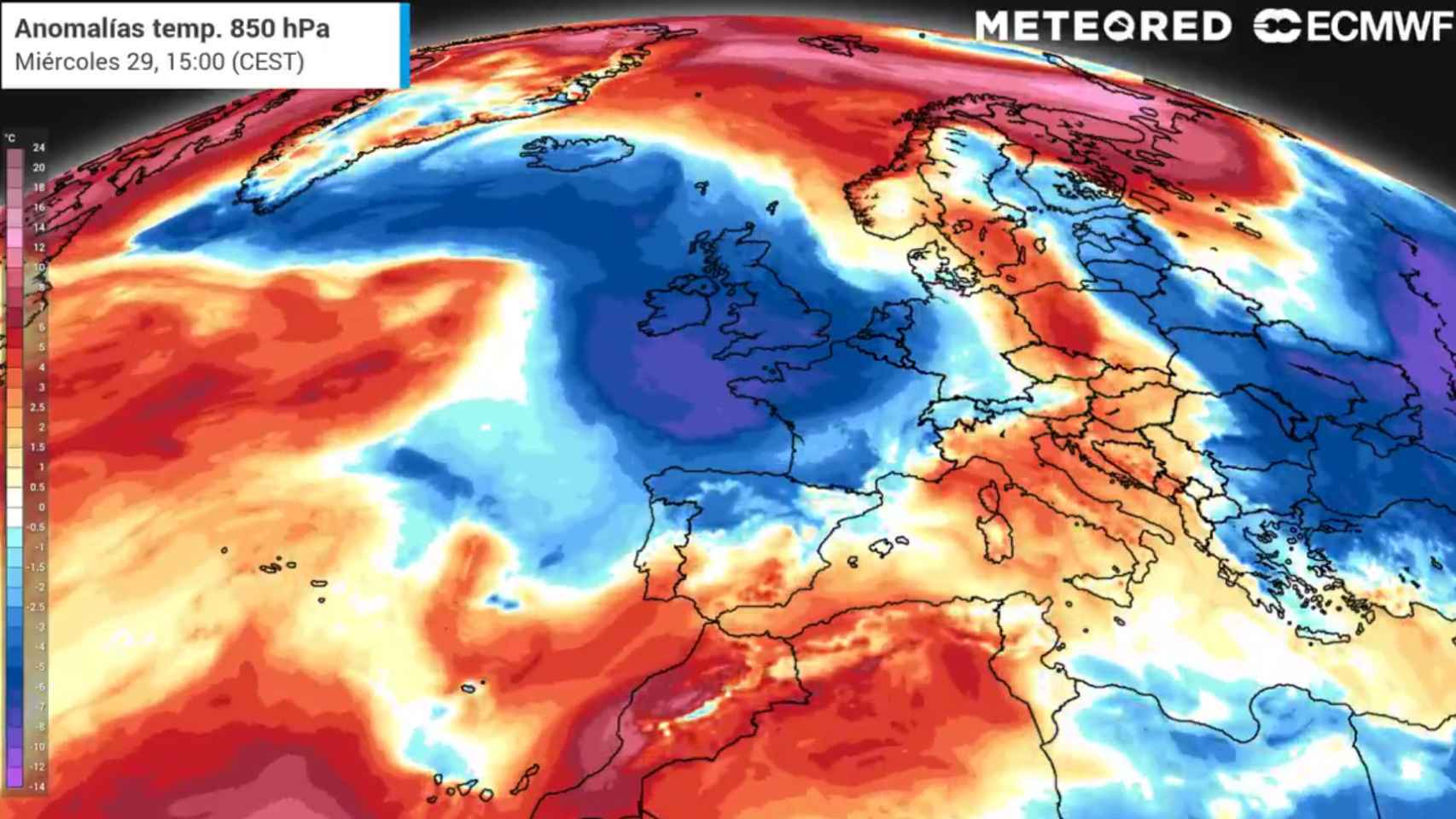
The northeastern part of the Atlantic has a colder air mass than normal 🌬️ which, in the coming days, will be felt in the northern half of the peninsula.
Over there the “summer of San Miguel” will be a bit decaffeinated ☀️🍂. pic.twitter.com/xCmSst4X1O– Meteored | weather.com (@MeteoredES) September 27, 2021
According to the predictions, On Tuesday, while Córdoba and Seville will reach a maximum temperature of 30 degrees Celsius, in cities like San Sebastián they will not exceed a maximum of 20 degrees Celsius. Likewise, on Wednesday with temperatures decreasing in the northern half and increasing in the southern third and In Galicia, maximums of about 20 degrees Celsius are expected in Ávila or Burgos, while in Córdoba, Huelva or Seville they could reach 32 degrees Celsius.
On Thursday and Friday the weather will be dry and stable in most of the country due to the predominance of high pressures. However, the winds of maritime origin that will be of this component will give rise to an abundant cloudiness, or even to weak rains in the Mediterranean area, specifically in parts of the Valencian Community, Region of Murcia and the Balearic Islands, without being discarded in isolation in other parts of the Mediterranean area, such as the Catalan coast.
Regarding the temperatures of those days, Del Campo says that the values will be those indicated for the time, with a possible trend towards warmer temperatures in Andalusia. Every weekend, even with some “uncertainty”, a frontal system is expected in the northwest of the Peninsula that it would leave rains that would spread to the rest of the northern third of the peninsula. The frontal system would lower the temperatures and leave cooler air.
In the Canary Islands there will be slightly cloudy skies for the next few days, except in the north of the mountainous islands, which will register more abundant cloudiness with possible light rains. Furthermore, the presence of airborne dust could lead to haze on the eastern islands.
This Tuesday, temperatures will decrease, although It will continue to exceed 30 degrees Celsius in the south of the islands with a possible rise in temperatures on Thursday. Del Campo points out that the trade winds will blow with intensity those days, especially on the northwestern and southeastern slopes.
Eruption on La Palma
Finally, AEMET highlights that air quality will not be affected by the volcanic eruption of La Palma in the inhabited areas of the islands which will continue the same for the next few days, in which the ash rain could continue on the island of La Palma.
On the other hand, it has ruled out acid rain and a possible influence on air quality in the Peninsula and the Balearic Islands. In this sense, he explained that the emissions of volcanic gases will move at altitudes of between 1,500 and 3,000 meters, from northeast to east, going to 500 meters of altitude in the north of the islands. Likewise, there could be dispersion of volcanic substances to the rest of the islands, but in lower concentrations than in the eruptive mouth.
Follow the topics that interest you
Reference-www.elespanol.com