With milder temperatures to be expected this weekend, residents of the London region will definitely dream of a white Christmas, as the classic Irving Berlin song goes.
![]()
While some areas, including London, are expected to experience a few gusts throughout the day on Thursday, none of them will be left for Santa Claus.
Preliminary forecasts from Environment Canada say London can expect a high of 6C on Christmas Eve and 7C on Christmas Day, with a chance of showers on both days.
“This is just the pattern we’ve been in, where we occasionally get some winter weather and then it quickly reverses. We’ve been seeing this back and forth since November, ”said Anthony Farnell, Global News chief meteorologist.
The mildest temperatures have held since November, Farnell says, even breaking some high temperature records. London set a new record for December 16 last week at 15C.
For any prolonged cold and snow, Londoners will likely have to wait until after the New Year before the weather pattern changes, allowing for typical winter conditions, he says.
“Until then, everything is in the west. Vancouver, Victoria, areas that rarely see a white Christmas, will wake up to snow on Christmas morning, ”he said.
Other areas, including parts of southern Quebec and eastern Ontario, may see a potential snowstorm on Christmas Day, he said, but it is in the west that snow is abundant.

“One of the driving factors is a big ridge that is just off the west coast that brings the cold to western Canada and keeps us much softer,” he said.
“The mountains in British Columbia, just incredible amounts of snow, which is, I suppose, good news for skiers, but it doesn’t have much to do with what we’re dealing with.”
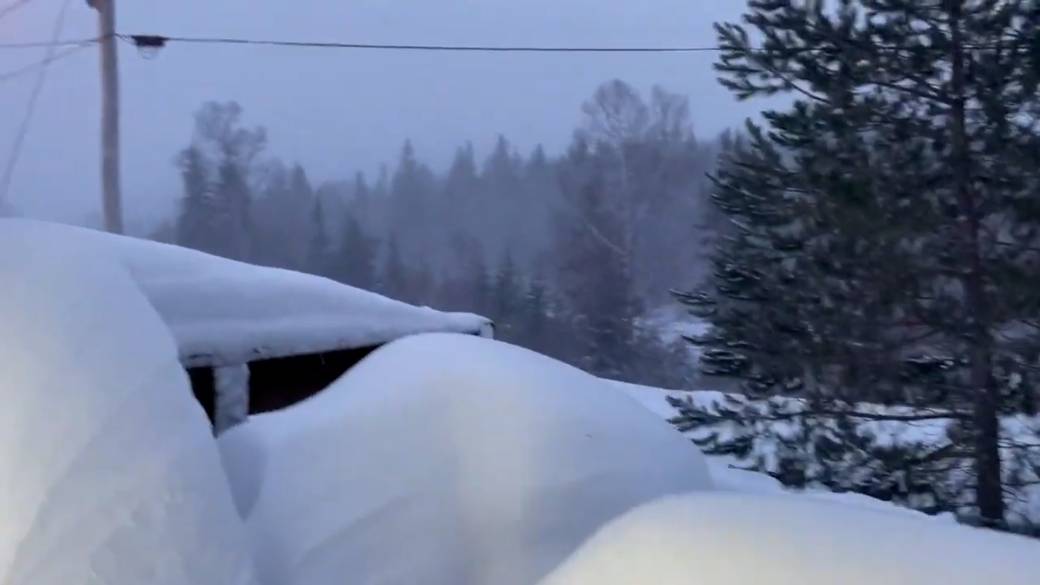
As of Thursday, winter storm and snowfall warnings dot parts of southern and central British Columbia, while special weather statements cover even more areas, including Victoria and Metro Vancouver.
Green Christmases are not entirely out of the ordinary in southern Ontario, and Farnell says they have become more common.
“A lot of that has to do with climate change, and only that slight push in temperature makes a difference, especially in those ‘in-between months’ like December and then March to April,” he said.
“Over the past two decades or so, five to 10 percent more Christmases are ending on the green side. It’s still like tossing a coin in London. In places like Toronto, it’s now down to less than one in three years when it’s a White Christmas. “
While Londoners have green lawns now, that may change if the freezing, frigid western weather makes its way into Ontario and the warmer, ice-free Great Lakes.
“It will have open water to work with and then we will see the lake effect snow piling up in a big way. That’s something to watch out for, especially in early January, ”Farnell said.
Read more:
U of M study suggests the shift to more rain than snow in the Arctic will come sooner than expected
Looking ahead, the months of January and February may see a few weeks in which the mercury plunges into deep freeze, with freezing temperatures and winds in the 20s and 30s below zero.
“But, one thing we’ve been pretty sure about since we published our winter forecast in early November is that it will be one of those round-trip winters,” he said.
“Although we forecast a lot of snow, don’t expect it to stay. There are warm-ups and cool-downs. That’s pretty typical with the La Niña conditions we’re seeing this winter, and it’s likely to last for the next several months, at least. “
© 2021 Global News, a division of Corus Entertainment Inc.
Reference-globalnews.ca